TeamDev Ecosystem is an Italian Esri Gold Partner building GIS and software solutions, custom geospatial applications, spatial analysis, and decision-support systems for governments, institutions, and businesses.
Through our brand gisAction, we bring that expertise to mission-driven organizations turning data into decisions for national statistics, conservation and international development cooperation.
Once again this year, we’re attending the Esri User Conference 2026, the global GIS event, to connect with the people and organizations shaping the future with GIS and to stay up to date on cutting-edge technology and real-world use cases, to better support our partners.


TeamDev Ecosystem is an Italian Esri Gold Partner building GIS and software solutions, custom geospatial applications, spatial analysis, and decision-support systems for governments, institutions, and businesses.
Through our brand gisAction, we bring that expertise to mission-driven organizations turning data into decisions for national statistics, conservation and international development cooperation.
Once again this year, we’re attending the Esri User Conference 2026, the global GIS event, to connect with the people and organizations shaping the future with GIS and to stay up to date on cutting-edge technology and real-world use cases, to better support our partners.
GIS for National Statistics
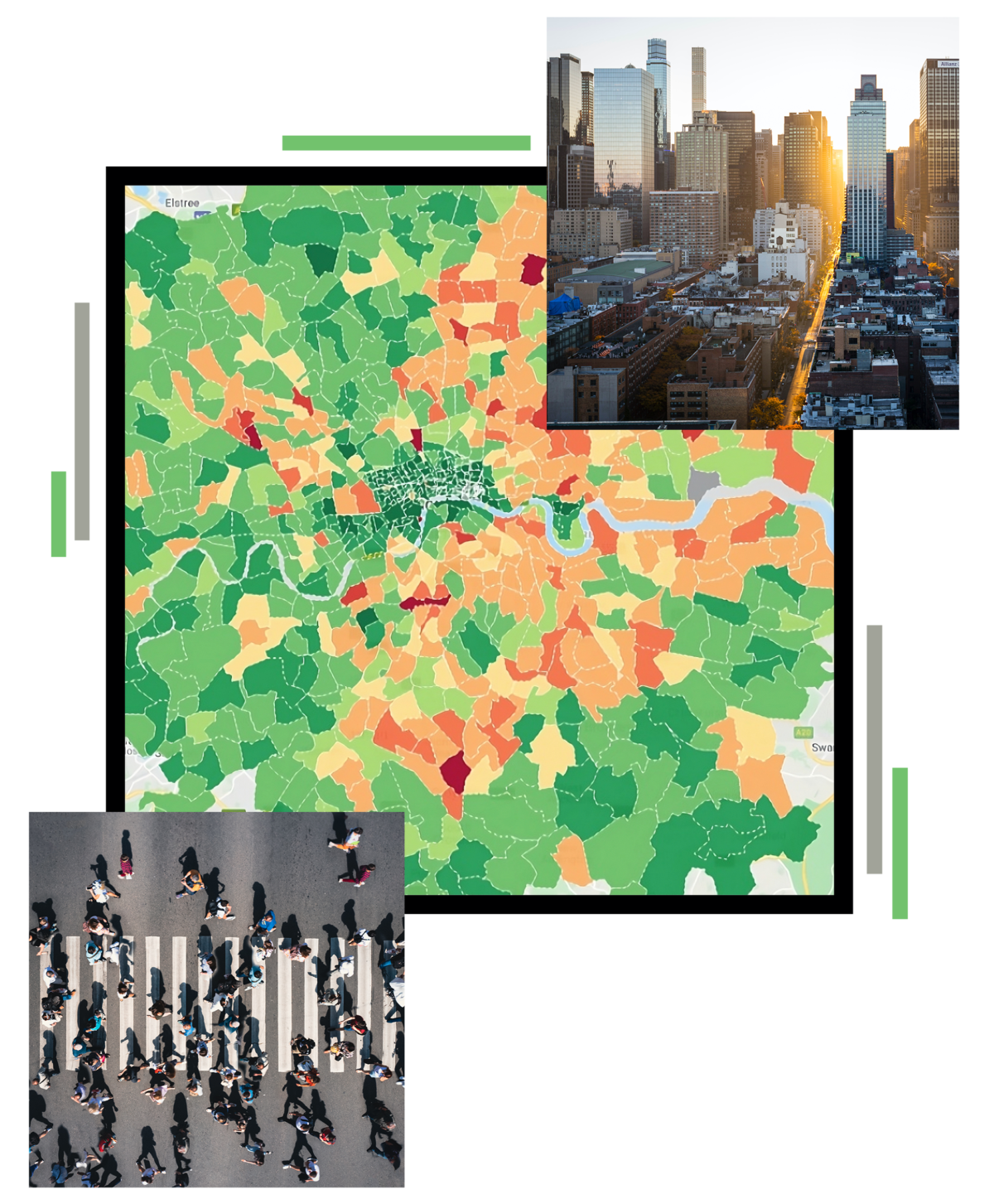
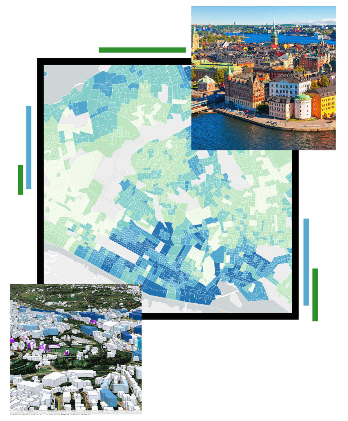
We help national statistical institutes and government agencies build their entire statistical and census infrastructure on a geospatial foundation — from designing enumeration areas and managing field data collection, to spatial validation, analysis, and the dissemination of results through interactive maps and dashboards. We combine rigorous spatial data management with AI-assisted analysis to make official statistics more accurate, timely, and easy to explore. Reliable statistics start with knowing where.
International Cooperation & MEA²Ls
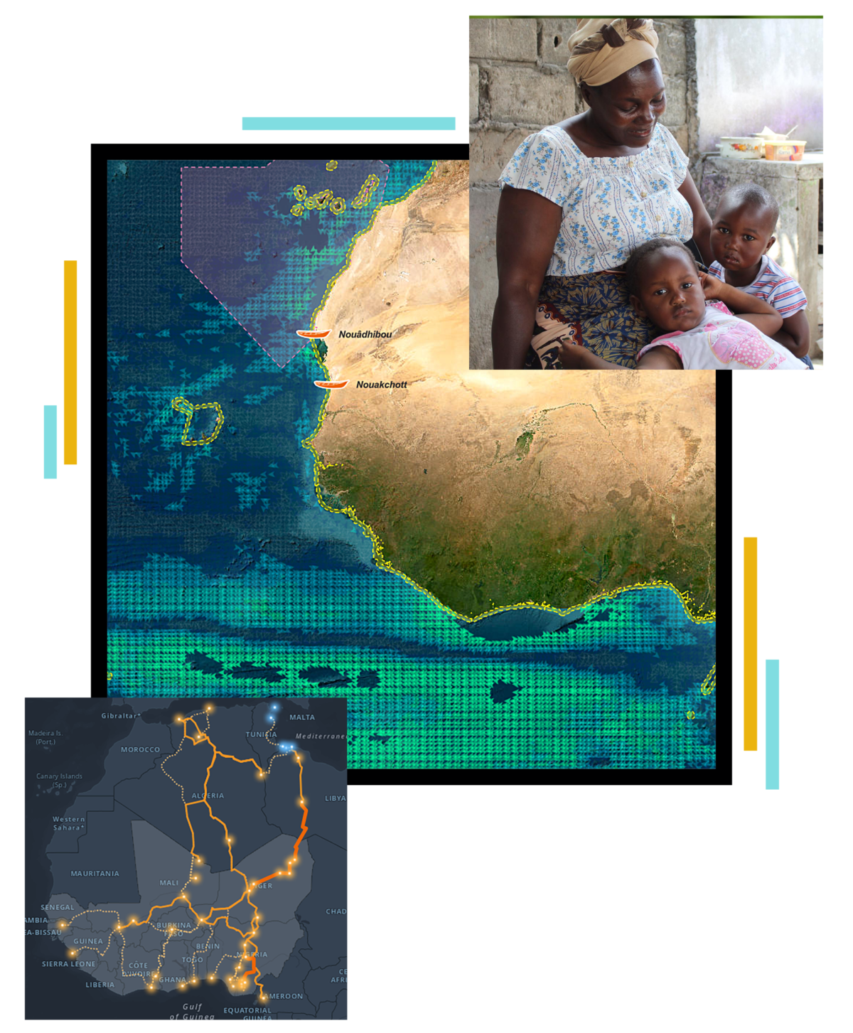
As the only Esri partner in Europe with the Nonprofit specialty, we give NGOs and international development cooperation agencies the tools to plan, monitor, and prove their impact. We turn Monitoring, Evaluation, Accountability, Advocacy, Learning & sharing into living maps, dashboards, and field data systems, making programs measurable, transparent, and easier to communicate to donors and communities alike. We’ve supported many organizations on programs across Africa and beyond.
Disaster Risk Reduction & Climate Change
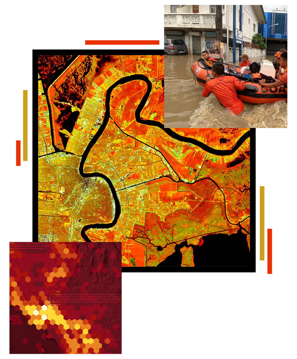
We help organizations anticipate risk and build resilience through spatial intelligence — from vulnerability and hazard mapping to monitoring systems and climate-communication storymaps that make complex environmental data understandable and actionable, with GeoAI helping surface patterns others might miss.
GIS for Conservation
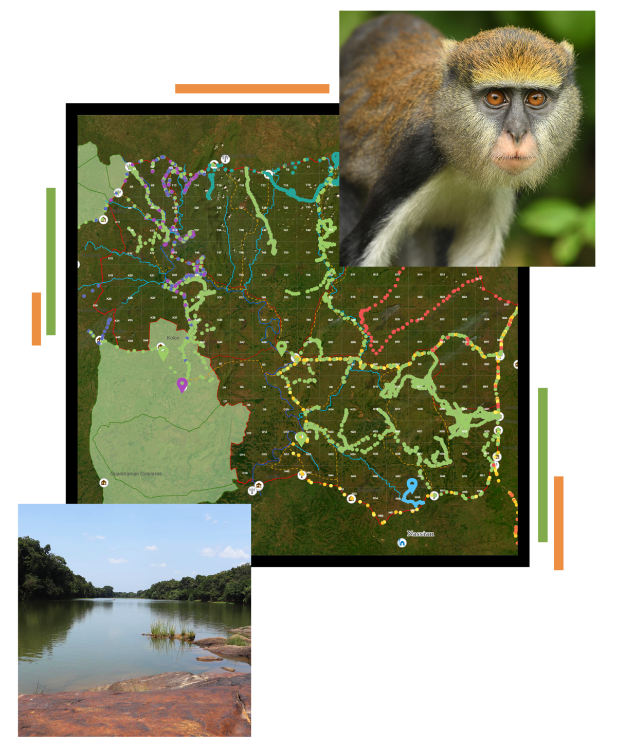
We help protected-area authorities safeguard natural parks and their ecosystems. We bring geographic, IoT, and GPS data into a single, continuously updated view of the territory — supporting real-time surveillance, the geolocation of field teams for safer operations, and the biomonitoring of flora and fauna to catch environmental threats early. With GeoAI revealing patterns across complex ecological data, the result is a decision-support system that makes conservation more effective, transparent, and grounded in evidence.
Public Administration & Digital Twin
As holders of the Esri State and Local Government specialty, we help city, regional, and national authorities digitize and modernize their services. This is the home of WiseTown, our digital-twin platform that turns a city’s data into a living, interactive model — bringing infrastructure, urban planning, public works, and citizen services together in one place to support better decisions on policy, budgets, and operations, with GeoAI powering predictive insight and automation.
GIS for National Statistics
We help national statistical institutes and government agencies build their entire statistical and census infrastructure on a geospatial foundation — from designing enumeration areas and managing field data collection, to spatial validation, analysis, and the dissemination of results through interactive maps and dashboards. We combine rigorous spatial data management with AI-assisted analysis to make official statistics more accurate, timely, and easy to explore. Reliable statistics start with knowing where.
International Cooperation & MEA²Ls
As the only Esri partner in Europe with the Nonprofit specialty, we give NGOs and international development cooperation agencies the tools to plan, monitor, and prove their impact. We turn Monitoring, Evaluation, Accountability, Advocacy, Learning & sharing into living maps, dashboards, and field data systems, making programs measurable, transparent, and easier to communicate to donors and communities alike. We’ve supported many organizations on programs across Africa and beyond.
Disaster Risk Reduction & Climate Change
We help organizations anticipate risk and build resilience through spatial intelligence — from vulnerability and hazard mapping to monitoring systems and climate-communication storymaps that make complex environmental data understandable and actionable, with GeoAI helping surface patterns others might miss.
GIS for Conservation
We help protected-area authorities safeguard natural parks and their ecosystems. We bring geographic, IoT, and GPS data into a single, continuously updated view of the territory — supporting real-time surveillance, the geolocation of field teams for safer operations, and the biomonitoring of flora and fauna to catch environmental threats early. With GeoAI revealing patterns across complex ecological data, the result is a decision-support system that makes conservation more effective, transparent, and grounded in evidence.
Public Administration & Digital Twin
As holders of the Esri State and Local Government specialty, we help city, regional, and national authorities digitize and modernize their services. This is the home of WiseTown, our digital-twin platform that turns a city’s data into a living, interactive model — bringing infrastructure, urban planning, public works, and citizen services together in one place to support better decisions on policy, budgets, and operations, with GeoAI powering predictive insight and automation.
Meet us at UC2026 in San Diego.
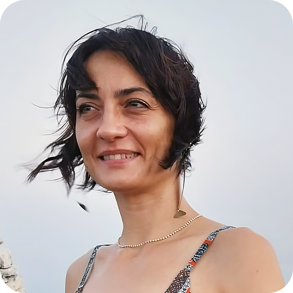
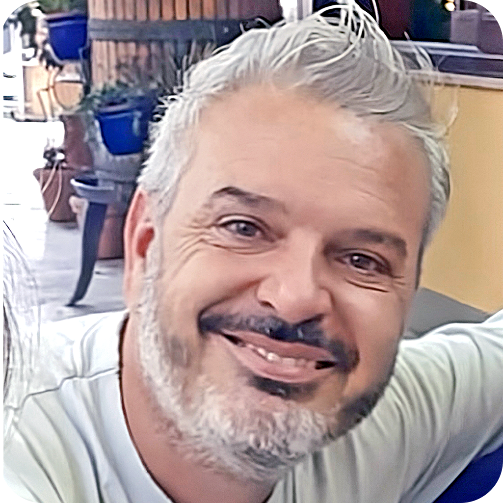
The best conversations at UC don’t happen on a stage — they happen over coffee, between sessions, when two people who care about the same problems finally meet. That’s exactly why we’re there. If your work touches national-scale data, public administration, GeoAI, or international development, reach out: Elisabetta and Michele would love to swap ideas with you.
Meet us at UC2026 in San Diego.
The best conversations at UC don’t happen on a stage — they happen over coffee, between sessions, when two people who care about the same problems finally meet. That’s exactly why we’re there. If your work touches national-scale data, public administration, GeoAI, or international development, reach out: Elisabetta and Michele would love to swap ideas with you.