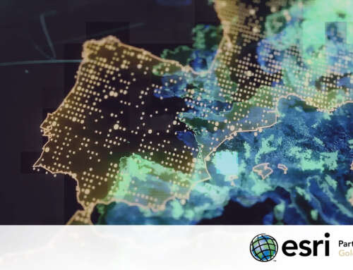
From data collection to a strategic compass: the technological architecture created for INSTAT
A national census is never just about counting; it is a complex snapshot of a territory, its infrastructure, and its inhabitants. Recently, Albania completed a digital transformation of its census process that is attracting international attention for its effectiveness and technological innovation. At the heart of this challenge is INSTAT (the Albanian Institute of Statistics), which successfully combined the need for granular data with the power of geospatial analysis. With the support of Esri—of which TeamDev Ecosystem is a partner—and through the gisAction division, INSTAT launched two platforms: Geodata Hub and WebGIS. Both tools were designed to improve detail, quality, accessibility, and interoperability.
The Challenge: Digitalizing Territorial Complexity
Surveying a diverse territory like Albania—ranging from densely populated urban centers to the most isolated mountainous areas—presents high-level logistical and technical challenges. The primary issue to overcome was the fragmentation of traditional methods, ensuring that collected data was not only accurate but also immediately interoperable and actionable for policy planning.
Technology as a Driver of Change
The solution was found within the Esri ecosystem. GIS (Geographic Information System) technology was not used merely as cartographic support, but as an intelligent analysis platform capable of connecting socio-economic variables to the physical context. In a modern census, every piece of statistical data gains value only when it is georeferenced. Understanding the spatial distribution of the population, proximity to healthcare services, and urban growth dynamics transforms the census from a static archive into a strategic compass for public decision-makers.
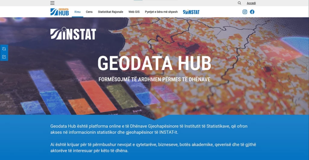
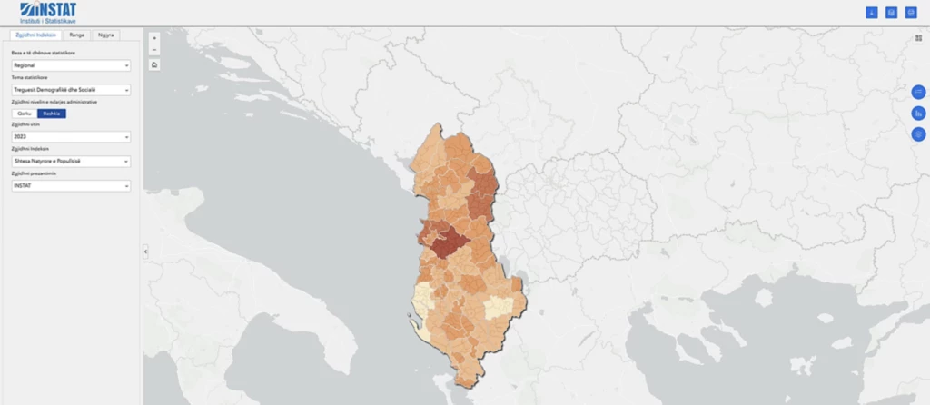
The Platforms: Geodata Hub and WebGIS
To turn this vision into reality, the project relied on two technological pillars:
- Geodata Hub: A central platform that manages the entire data lifecycle. Its task is to ensure consistency, quality, and interoperability, eliminating the “information silos” that often slow down large-scale statistical analysis.
- WebGIS: A dynamic and intuitive interface that allows INSTAT to visualize, query, and analyze information on maps in real time. This tool enabled the monitoring of data collection progress with unprecedented precision, drastically reducing margins of error.
The Benefits: Transparency and Awareness
The result of this journey is a more informed community. The data collected enables targeted interventions, fairer resource distribution, and, above all, greater transparency in the management of public assets. The approach adopted in Albania today represents a model of excellence for the digitalization of public administration.
The complete case study, including an in-depth analysis of the implemented solutions, has been published by Esri to demonstrate how geospatial technology can be the cornerstone of a more modern and connected future. Read the full article on Esri.com