

The City of Campobasso has taken a decisive step toward smart urban management. As the project’s technology partner, we have led the evolution of the city’s Geographic Information System (GIS), transforming it into an advanced Digital Twin. This initiative is part of “MOLISCTE – The House of Emerging Technologies,” a project funded by the Ministry of Enterprise and Made in Italy to drive innovation in public administration workflows through the integration of cutting-edge technologies.
The Technologies Behind the Project
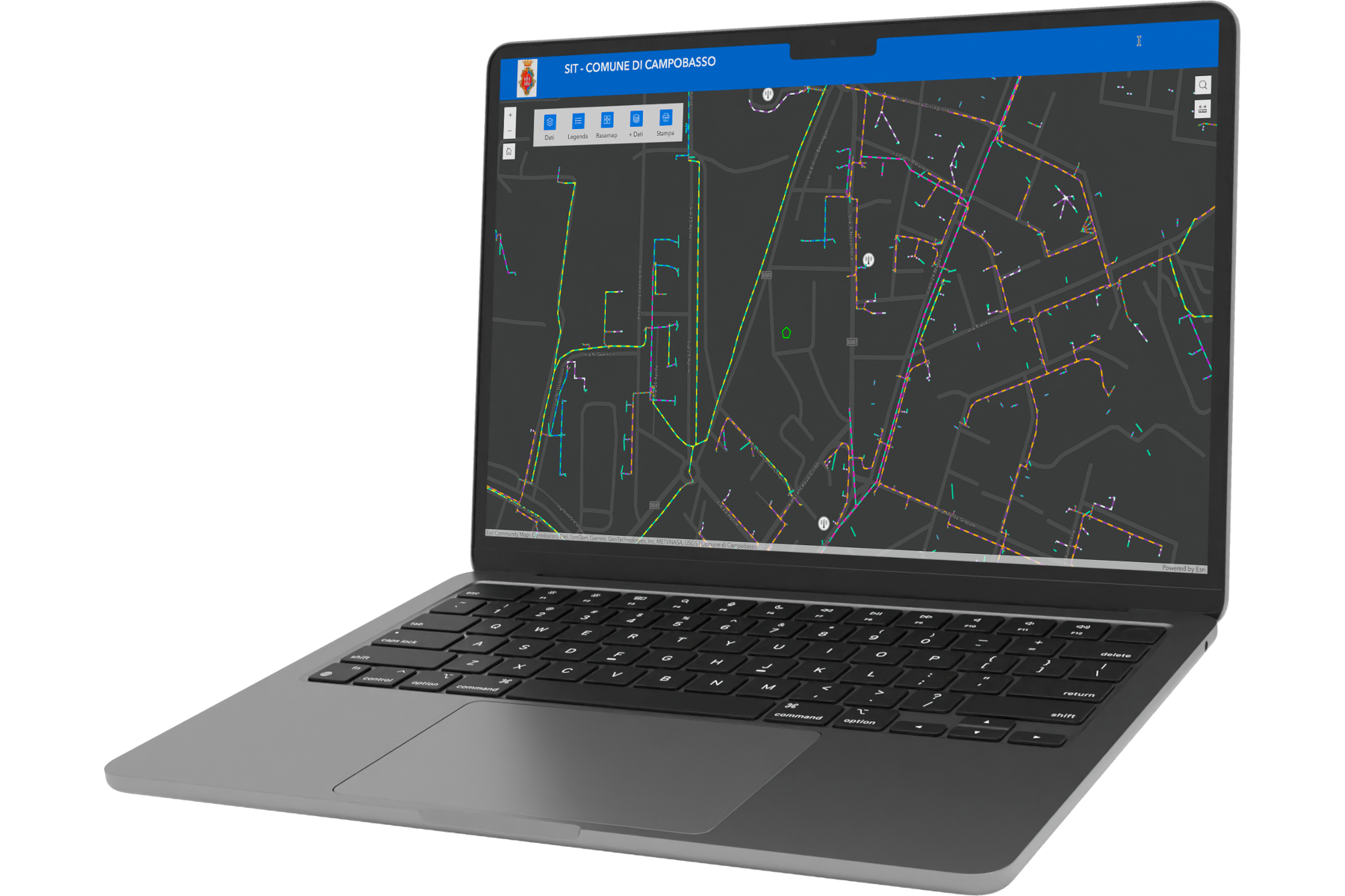
At the heart of this transformation lies an integrated ecosystem that combines geographic analysis with smart city management. As a technology partner, we have deployed and configured the Esri ArcGIS Enterprise and Online platforms, creating a robust framework for storing and managing complex geographic datasets.
At the same time, we have implemented solutions from our WiseTown suite:
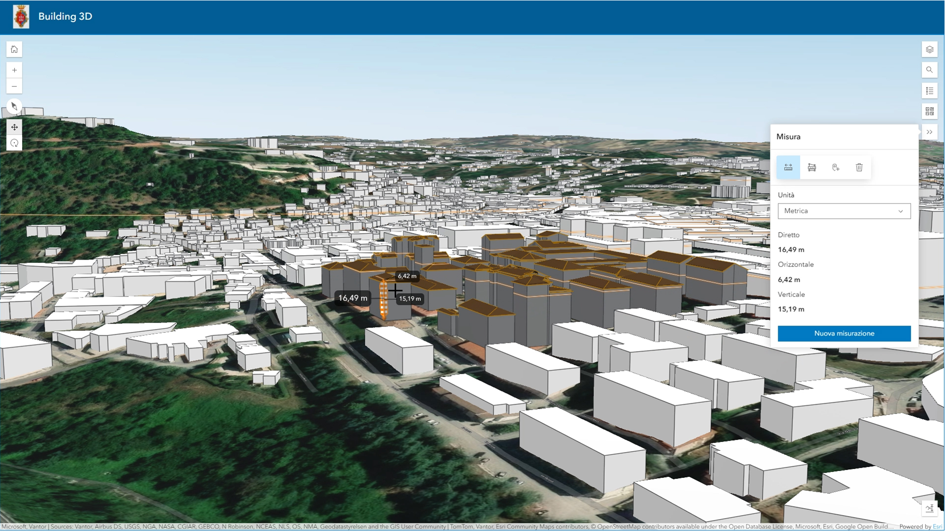
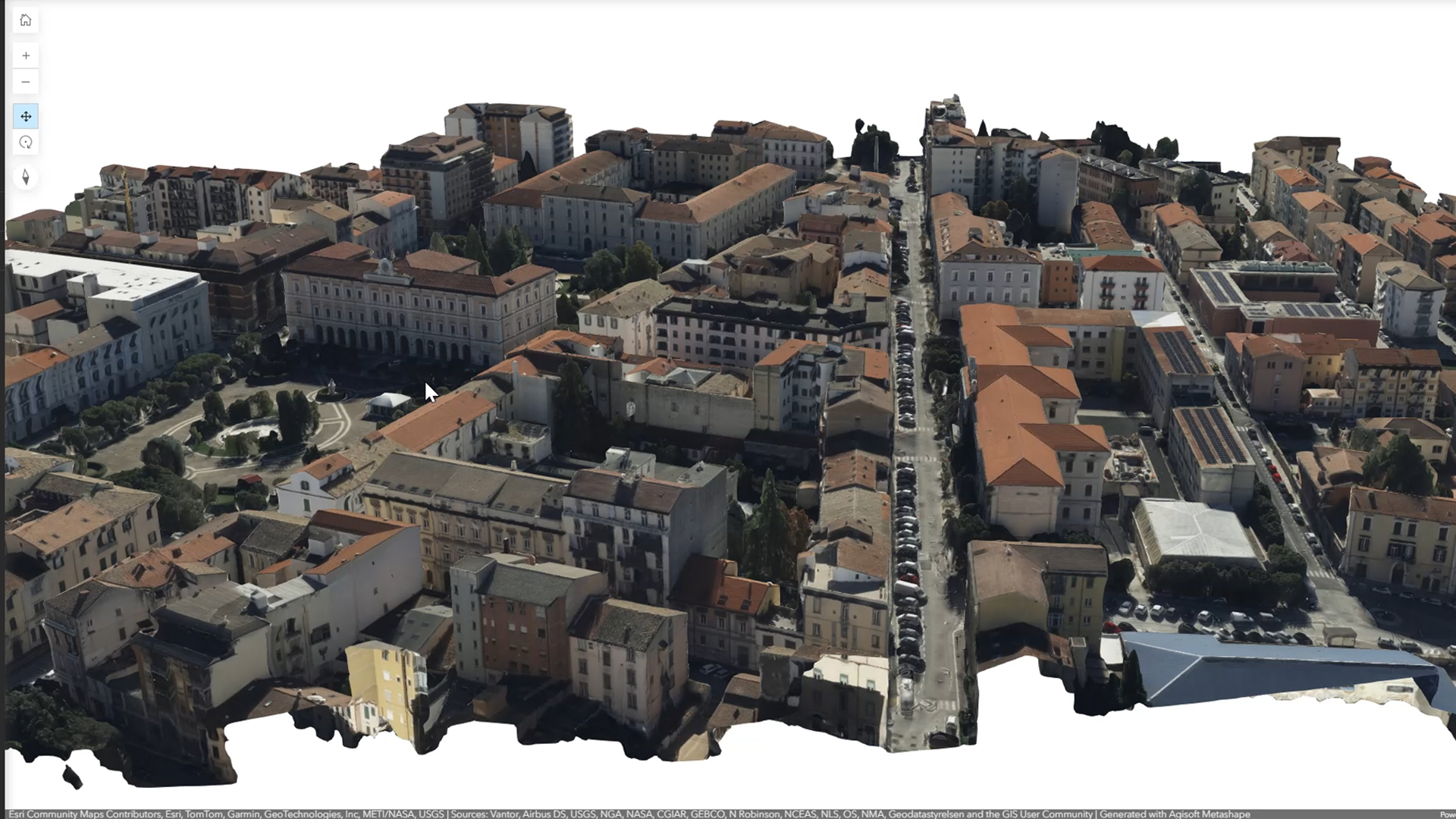
- Citiverse: for integrating IoT data, third-party portals, and 3D reconstructions of the territory.
- Issue Manager: to provide the municipality with an internal planning tool and a dedicated app for citizen reports.
The Strategic Importance of the Digital Twin
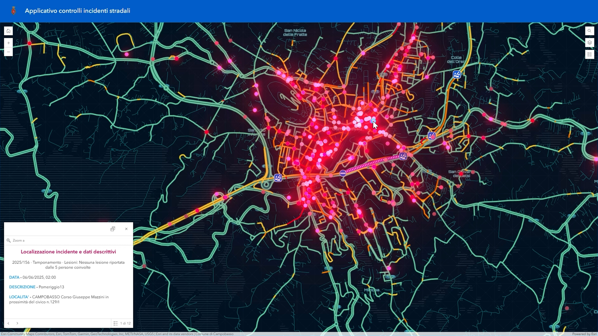
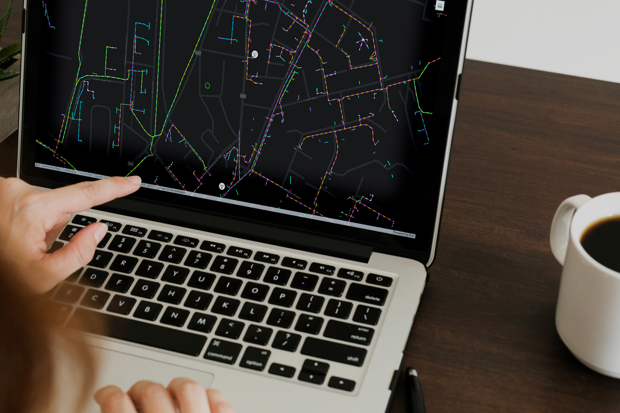
In this project, technology is not merely a storage tool, but the driving force behind urban planning. Thanks to the standardization and migration work we conducted on critical datasets—such as the gas network, street addresses, the antenna plan, and traffic accidents—the City of Campobasso now has a clean, consistent, and metadata-rich data infrastructure.
The integration of 3D reconstructions from aerial surveys enables analyses that were previously impossible: studying shaded areas, calculating walking distances, and verifying sightlines have become routine functions that support decision-making. This approach transforms the Geographic Information System (GIS) from a simple map into a dynamic model capable of simulating reality—essential for addressing the challenges of sustainability and territorial development in the medium and long term.
Benefits for the Administration and the City
The adoption of this system brings tangible benefits that impact both the administrative machinery and the lives of citizens:
- Operational and decision-making efficiency: Centralizing data into thematic groups (Urban Planning, General Urban Plan, Services) drastically reduces search and analysis times for municipal offices.
- Data-driven land management: Through vertical WebGIS applications, such as the one for monitoring traffic accidents, the administration can make more accurate and timely management decisions.
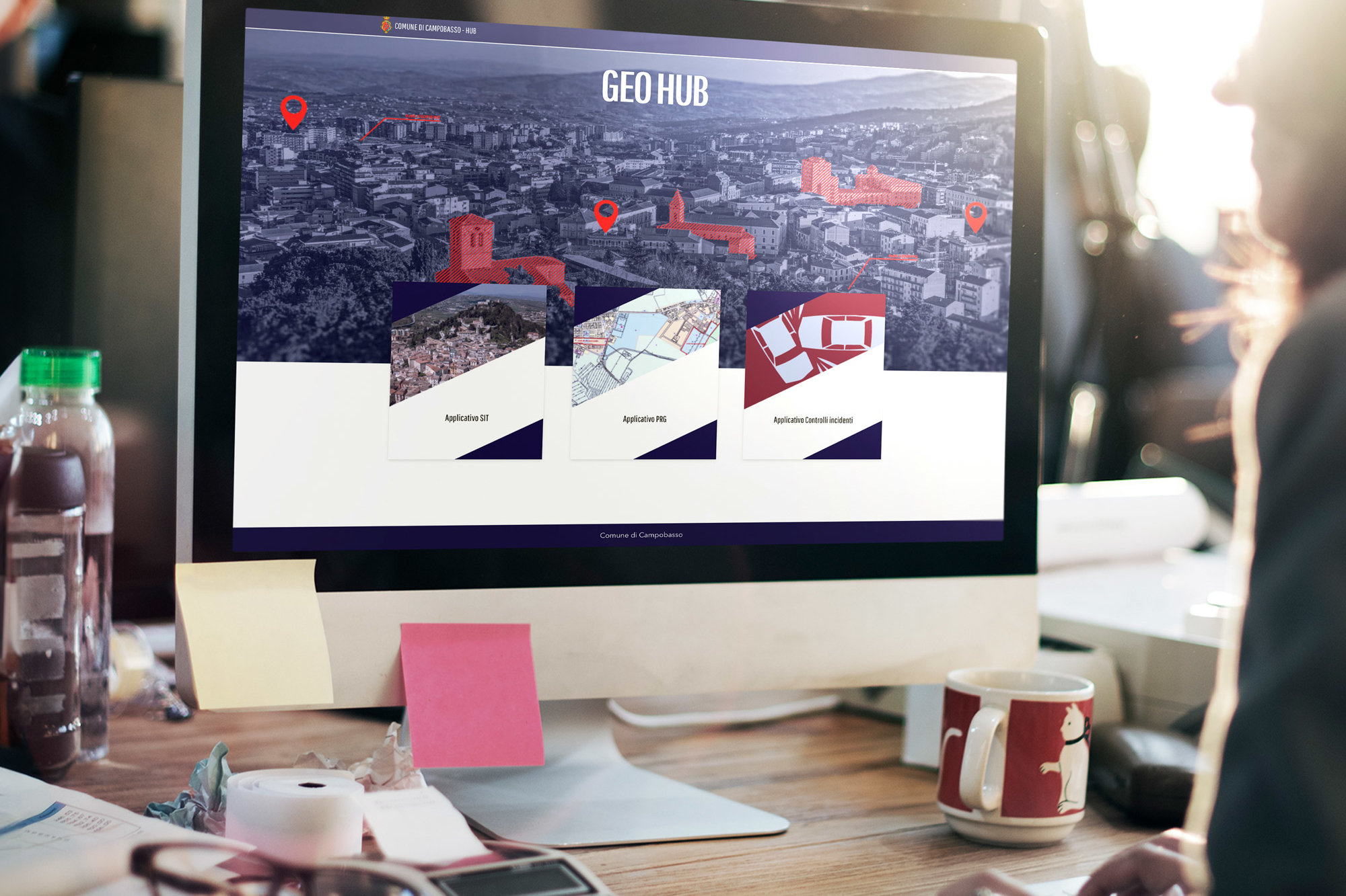
- Active participation and transparency: The launch of the SIT Hub and the reporting app bridges the gap between the government and citizens, fostering direct involvement in the management of the common good.
- Autonomy and expertise: Thanks to the training program we have provided (and which will continue through 2026), municipal staff have gained full autonomy in managing the platforms, ensuring the project’s long-term sustainability.